
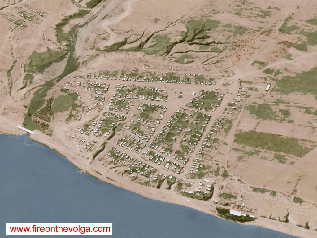
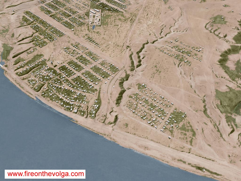
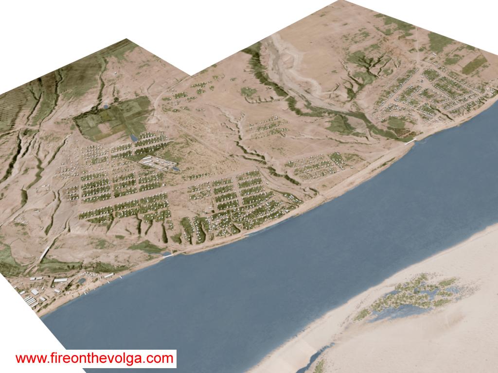
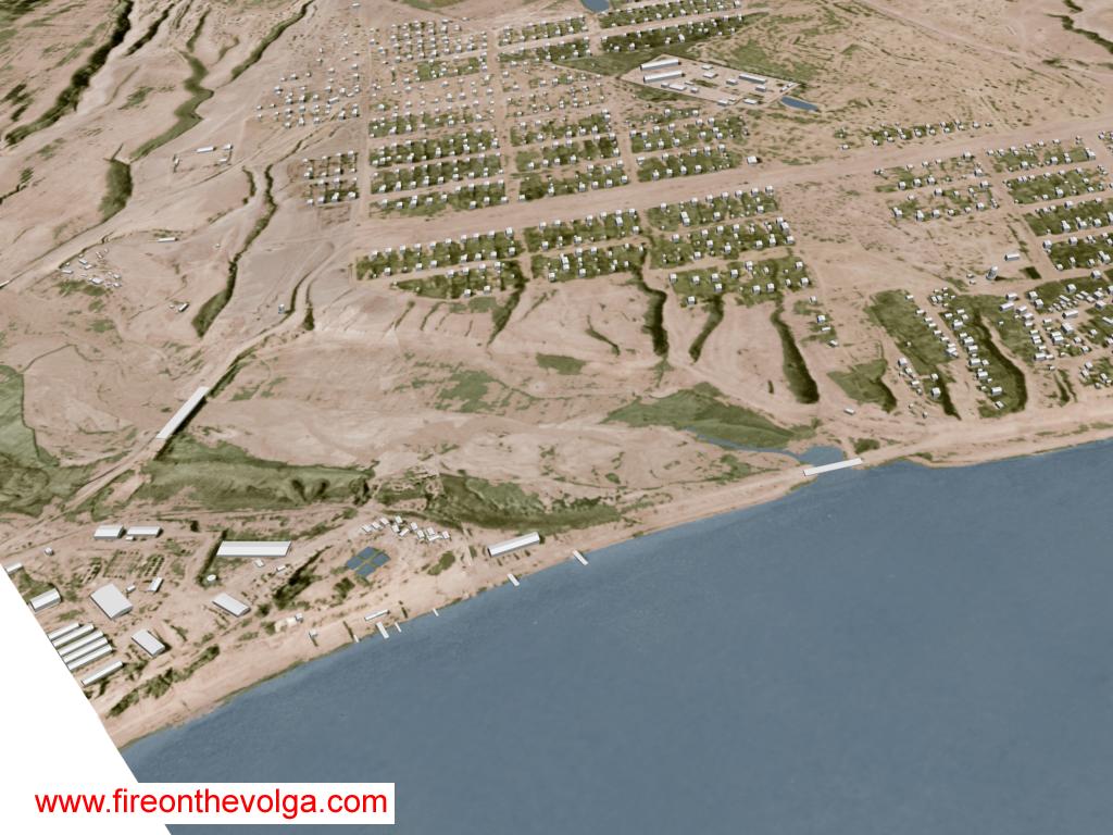
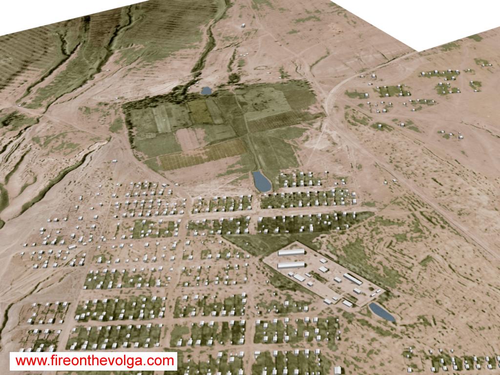
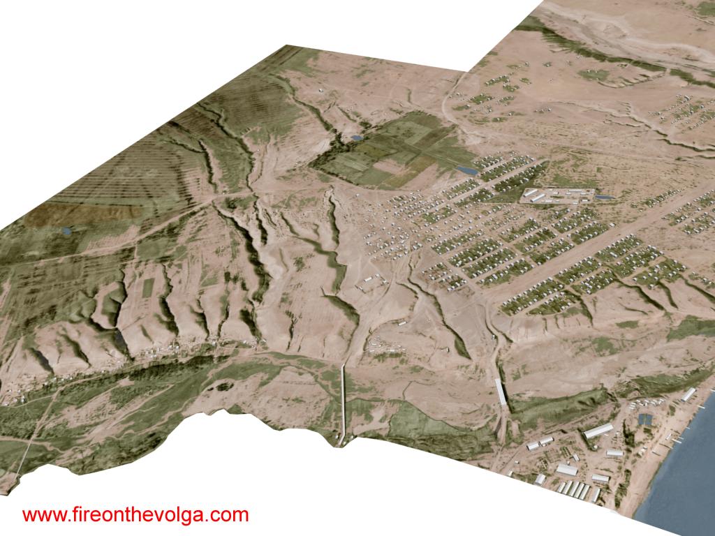
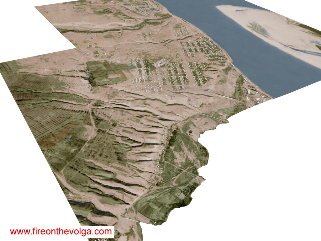
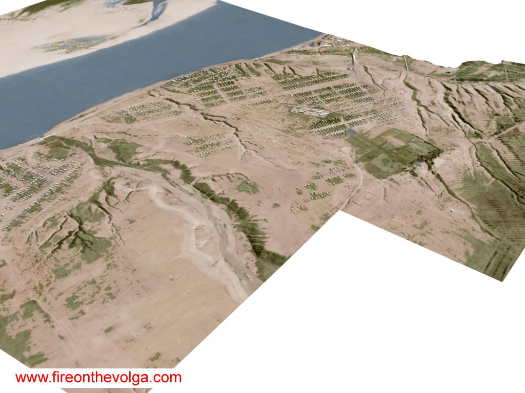
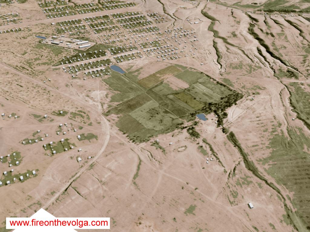
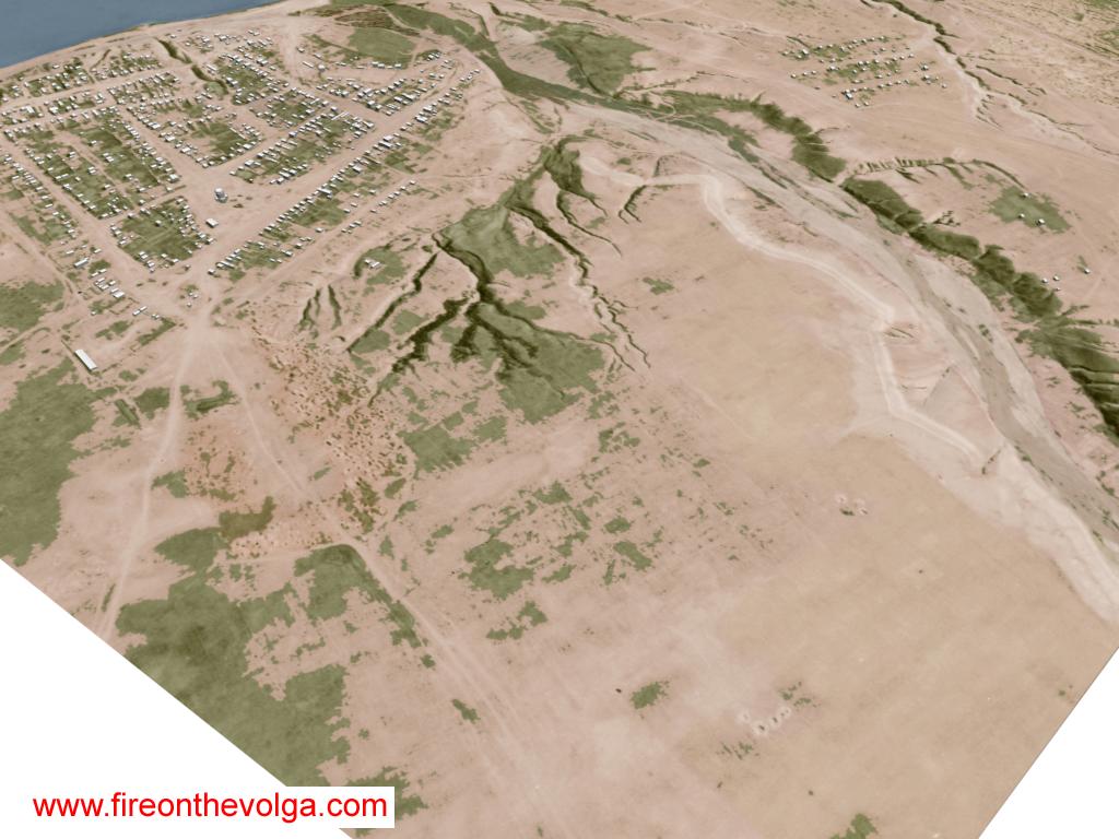
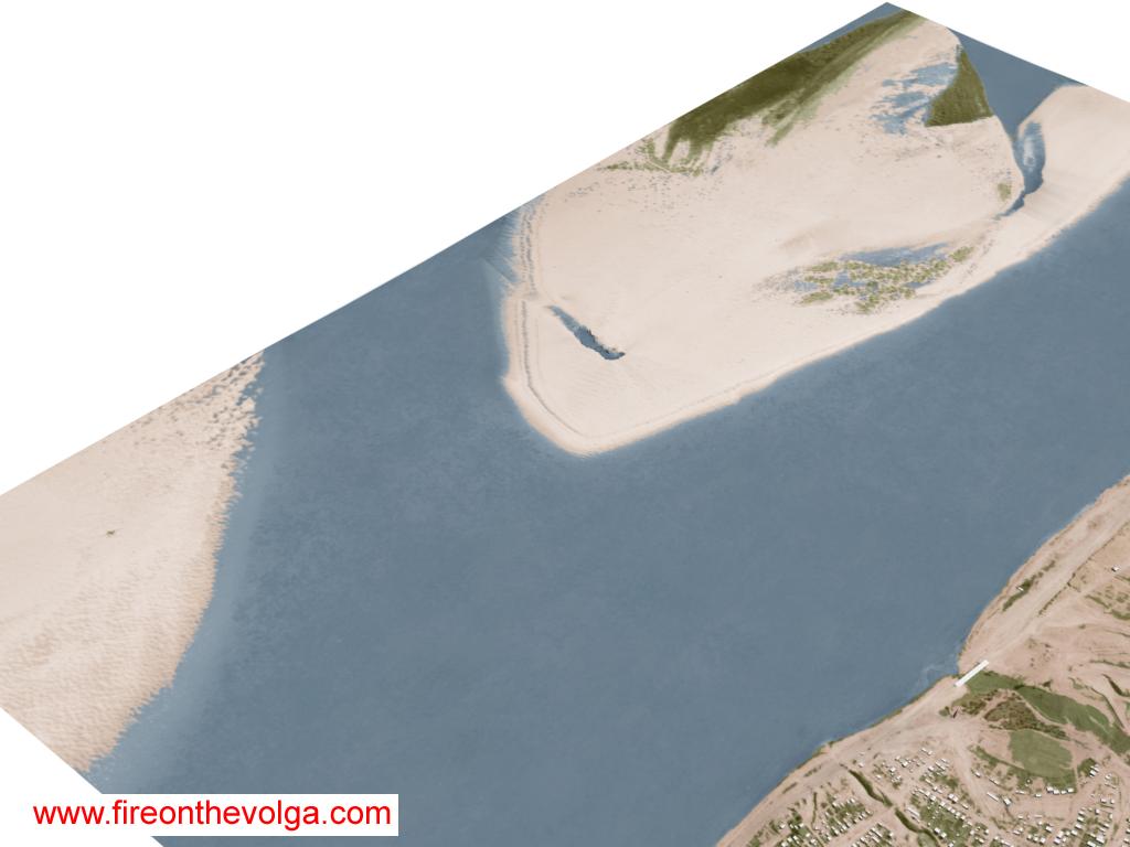
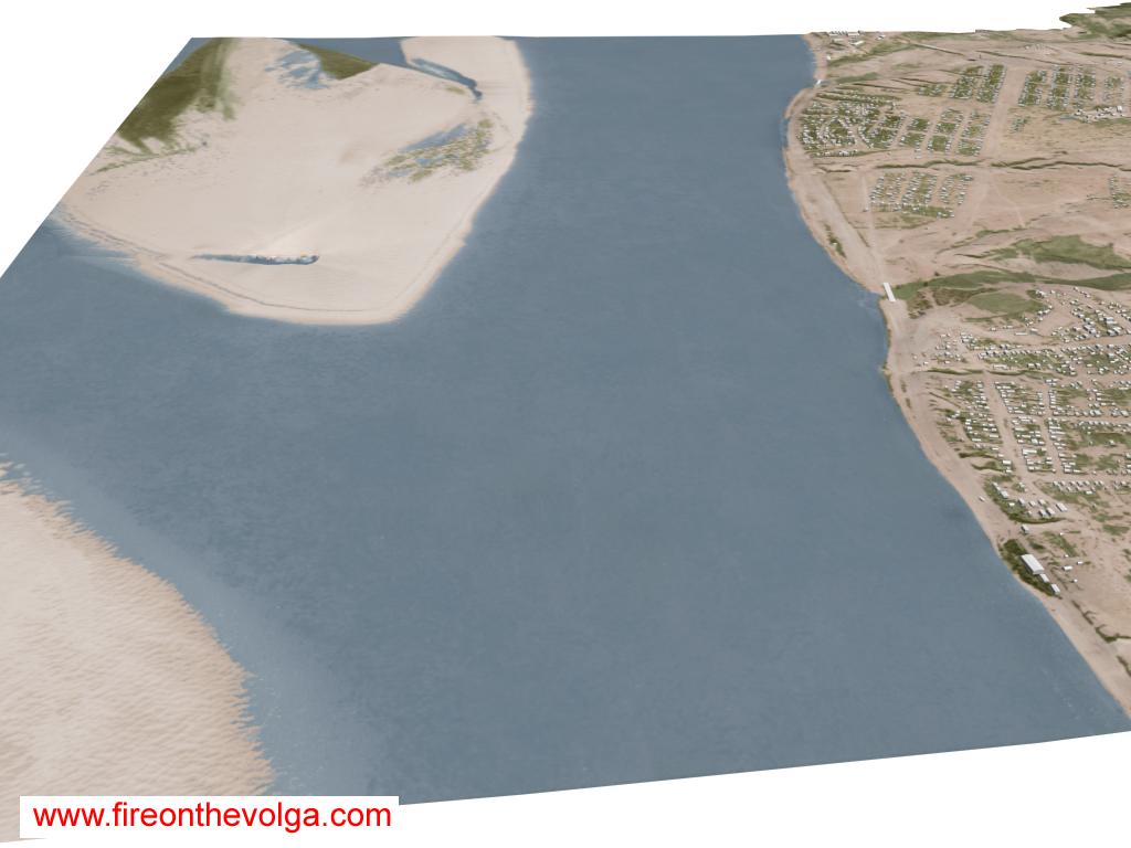
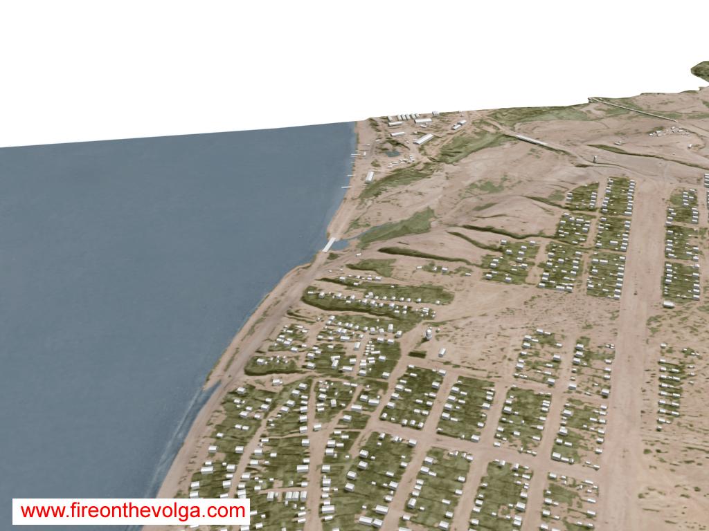
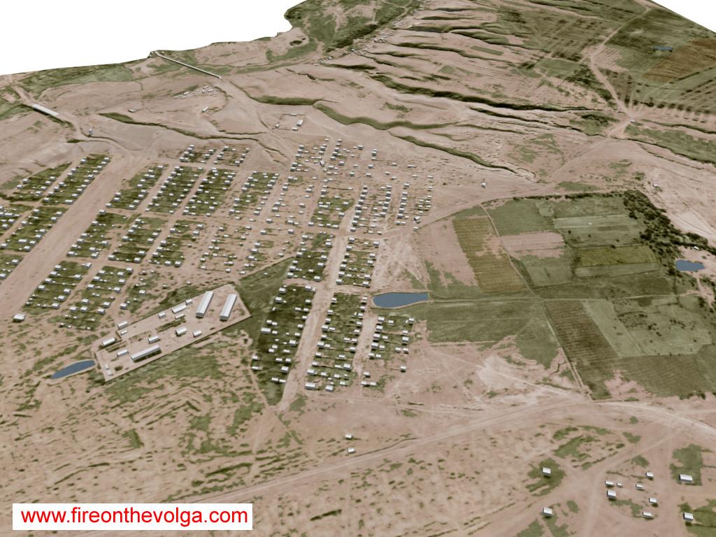
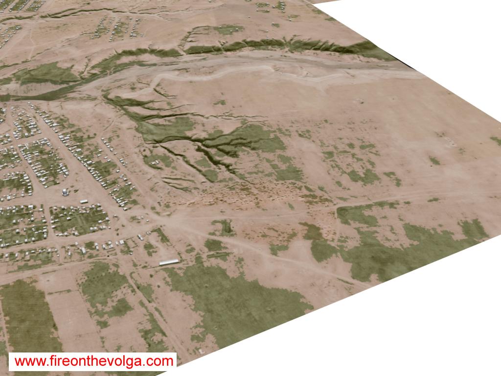
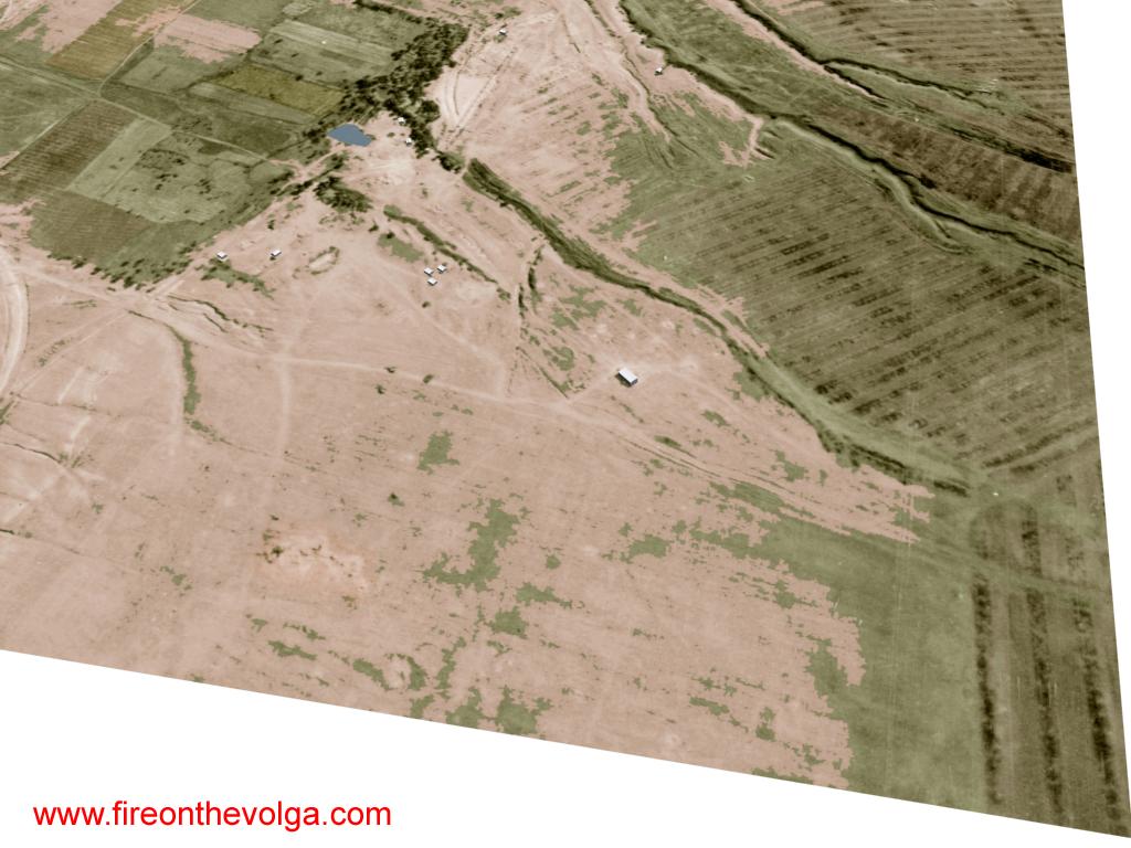
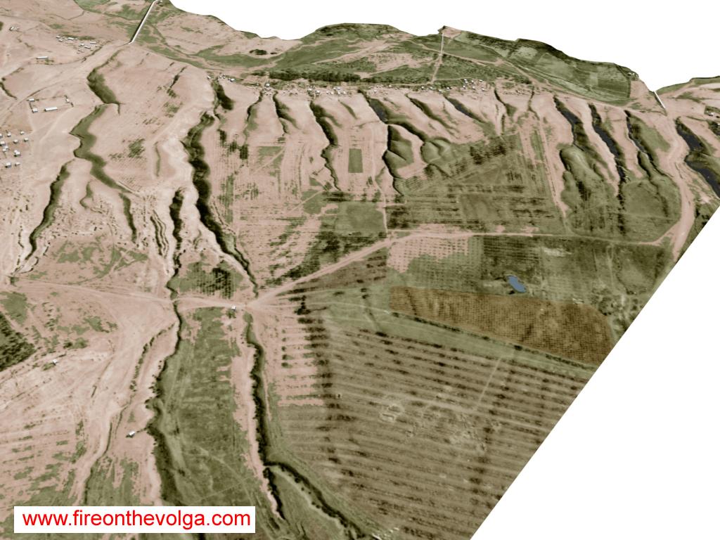
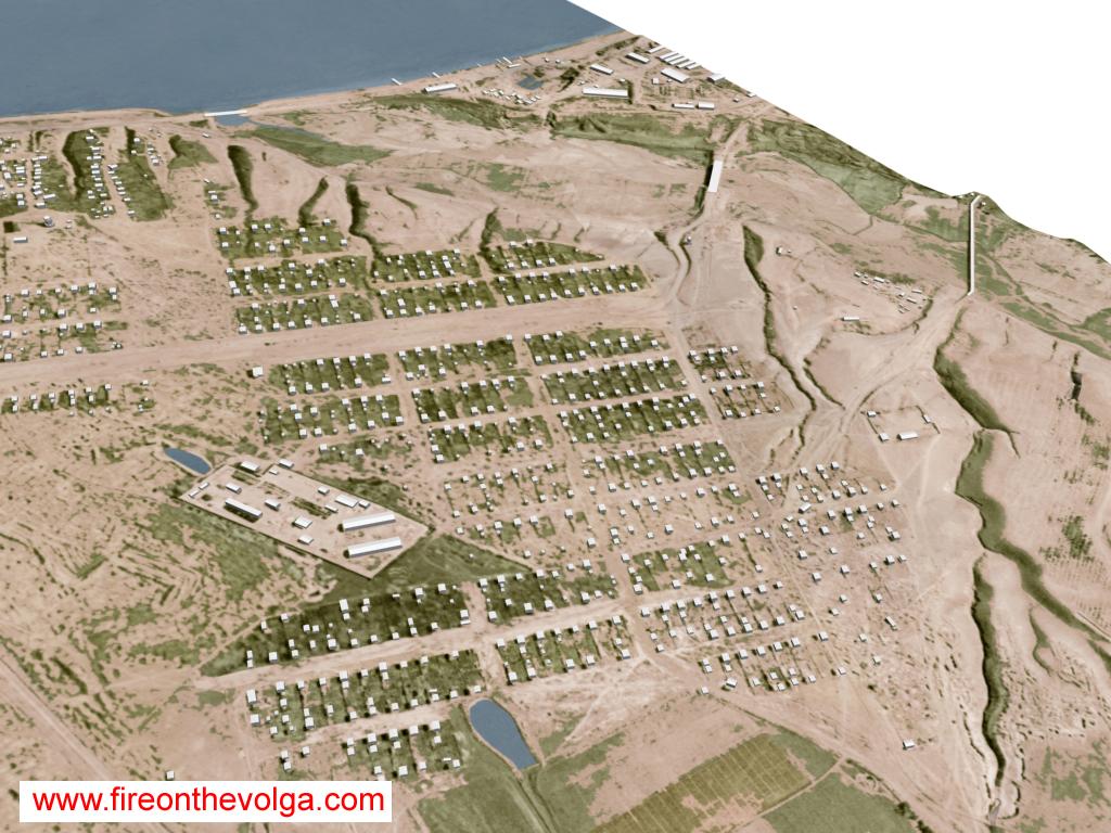
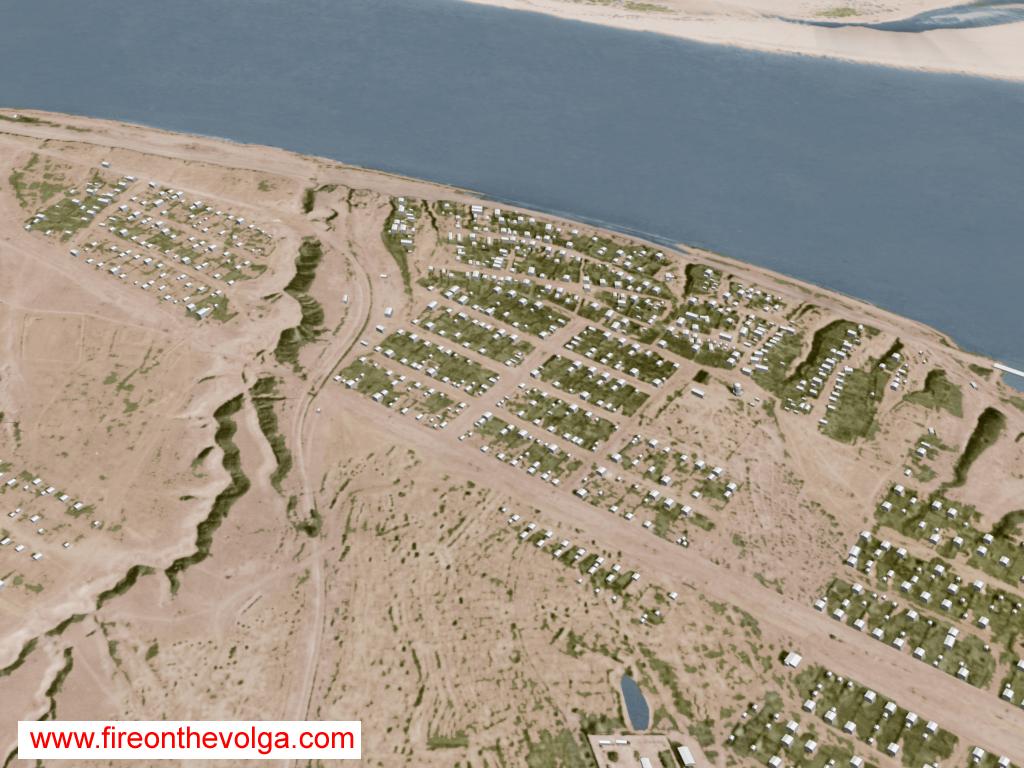
This model is created with 2-foot contour lines from maps of Stalingrad from the 1930s and 1940s and I have even fashioned the Volga river bottom from navigational charts I located from same period. There are 2,386 buildings fashioned in this model and this area reflects about 10% of the overall 3D project. All the modeling and colorization was created with AutoCAD, 3D Studio Max and Adobe Photoshop. From left to right: Northern area of the Dzerhezinsky Tractor Factory, village of Spartanovka and the village of Rynok. The village of Rynok. The village of Spartanovka. From left to right: Northern area of the Dzerhezinsky Tractor Factory, village of Spartanovka and the village of Rynok From left to right: Northern area of the Dzerhezinsky Tractor Factory and the village of Spartanovka. Center top to lower right: Spartanovka cemetery and prison. From left to right: Mokraya Mechetka (River ravine) and northern area of the Dzerhezinsky Tractor Factory. From lower left to right: Mokraya Mechetka (River ravine) and northern area of the Dzerhezinsky Tractor Factory. From left to right: The village of Rynok, the village of Spartanovka and the northern area of the Dzerhezinsky Tractor factory. Center: Spartanovka cemetery. Center-left to Top: Soviet horseshoe defensive mound west of Rynok village, nickname by German forces as the Big Mushroom and Skuchaya Mechetka (River ravine). From lower left to upper right: Spornyi Island, Volga River, and Zaitsevski Island. Volga River looking south. Spartanovka village looking south. From left to right: Spartanovka prison and cemetery. Center: Soviet horseshoe defensive mound Big Mushroom. Lower left: Soviet defensive mound west of Spartanovka cemetery, nickname by German forces as the Little Mushroom. Top Mokraya Mechetka (River ravine) looking south. Center-left to top: Spartanovka prison, the village of Spartanovka and northern area of the Dzerhezinsky Tractor Factory. The village of Spartanovka. (Looking northeasterly)

Responses
